

-
 SHOPPING CART item - 0
| ISBN | 9788170224105 |
| Binding | Hard Bound |
| Pages | 268 |
| Year of Publication | 1992 |
| Language | English |
| Size | 23 cms |
| Subject | Agriculture , Geography , GIS and Remote Sensing , Science and Technology |
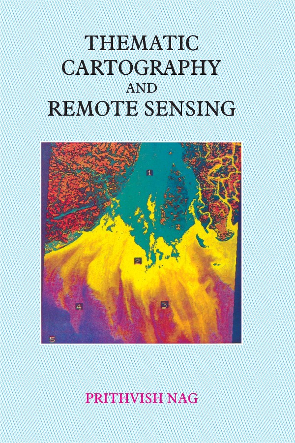
Thematic cartography has taken a place of a movement in India. Thematic maps and atlases are now being considered as an end product of a major academic, scientific and planning activities. Individuals and institutions who were marginally interested in this applied fields are now taking much interest. The progress of thematic cartography is not only linked with the development in the related disciplines, but also due to the technological impact it is facing or likely to face. The specialisation of the thematic contents in maps and technological options have proved to be complimentary to each other. Remote sensing has come in a big way. Within last 2 decades, the scenario related to remote sensing has witnessed rapid changes. The data provided by each new satellite and sensor have been better, particularly the resolution. The software solutions now provide a lot of options which are closer to the requirements of thematic cartography. The concepts like the Geographical Information System provide a basis for a better integration of thematic cartography with remote sensing. The objective of the present volume is to consider the issues and challenges involved and to discuss the technological options and solutions. This volume has an additional objective, i.e. to felicitate Dr. G.K. Dutt, ex-Director of the National Atlas & Thematic Mapping Organisation, Calcutta. His role in introducing technological innovations in thematic cartography has been exceptional. This volume would be useful for the geographers, cartographers, technologists, space application scientists and experts engaged in software development. It would also be a valuable addition in the cartographic and remote sensing institutions.
Prithvish Nag, (b. 1951), M.Sc. (Gold Medalist), Ph.D., is the Director of the National Atlas and Thematic Mapping Organisation (NATMO) of the Ministry of Science and Technology, Government of India. He has been the President of the Indian National Cartographic Association, Indian Association of Special Libraries and Information Centre, Institute of Indian Geographers, Indian Institute of Geomorphologists, Professor S.P. Chatterjee Memorial Foundation and Indian Geographical Foundation. At the international level, he was the Chairman of the International Cartographic Association (ICA), Commission on Population Cartography, UN/PCGIAP Committee on Institutional Strengthening for Asia and the Pacific, International Steering Committee on Global Mapping (ISCGM), Working Group on Data Standardization, and Full Member of the International Geographical Union (IGU), Commission on Population Geography, and Member, Editorial Board, International Journal on Geographical Information System. Dr. Nag was the Visiting Member of the Staff of the School of Oriental and African Studies, London. He is an author and editor of over 35 books and 110 research papers. His well known books are Geography of India and Digital Remote Sensing. Dr. Nag was UN Consultant in Cartography in the Sultanate of Oman and the Surveyor General of India.


