

-
 SHOPPING CART item - 0
| ISBN | 9788170224143 |
| Binding | Hard Bound |
| Pages | 320 |
| Year of Publication | 2009 |
| Language | English |
| Size | 23 cms |
| Subject | Geography , GIS and Remote Sensing |
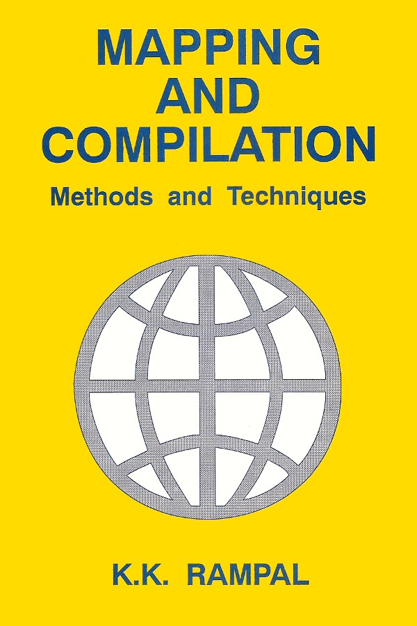
Maps form an essential part of all planning such as per Power Project, Dam Sites, Construction Works, Power Lines, Roads, City Planning, Geophysical Exploration etc. It is the objective of this book to bring out all that goes into map mapping (except for field surveys). The book is based on authors own experience in Survey of India for map preparation and compilation and teaching of principles of map making at IIT, Kanpur. The subject-matter presented in this book meets the requirement of undergraduate and graduate students concerned with mapping such as a for Geography, Forestry, Soil Sciences Geology, City Planning, Civil Engineering etc. This also serves the purpose of reference book to those who wish to know more about maps compilation. Although some topics like Map Projecting and Gridding are highly mathematical in nature only simple mathematics has been used to illustrate some properties of projection and gridding. There are not many books available in this very specialized aspect of compilation such as Cadastral Surveys and Computers in map making. Most of the available books deal with cartography. It is hoped that the matter presented here will help in giving specified information in map compilation.
K.K. Rampal received his M.S. and Ph. D. From Ohio State University (USA) and M. Sc. and B.Sc. (Hons.) from university of Delhi. He was graduated with B.Sc. in Photogrammetric Engineering degree from the Institute of Aerial Survey and Earth Sciences, Delft, The Netherlands, with a Diploma in Photo interpretation from the same Institute. He has several publication in national and international journals on the subject of Advanced Surveying, Photogrammetry and Remote Sensing and has supervised several sponsored and Consultancy Projects with the government and industry houses. He has supervised several master degree thesis on the above mentioned subjects and has attended national and international seminars. He served as Survey officer with Survey of India from 1954 to 1963 and since then had been teaching Surveying, Photogrammerty and Remote Sensing where he was Head of Survey Division as a Professor. He was the author of three published books on Surveying and Photogrammetry mapping. He was a visiting Professor at California State University Fresno, U.S.A. and Asian institute of Technology, Bangkok, Thailand. He was a fellow of the institute of Engineers, Member of American Society of Photogrammerty and Remote Sensing, Member of the Indian Society of Remote Sensing and Life Member of the Indian National Cartographic Association and Institute of Surveying (India). He was Visiting Professor at the Indian Institute of Remote Sensing, Dehra Dun for one year during 1991-92. He was a registered consultant with the Central Water Commission Govt. of India in Remote Sensing and a registered Photogrmmetrist with RITES Government of India Undertaking.


